Building a Dam: The making of Toledo Bend Lake

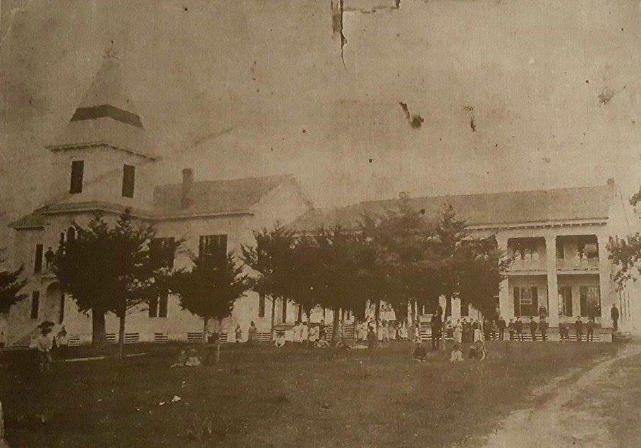
In May 1963, land acquisition for Toledo Bend Reservoir got underway.  Construction of the Toledo Bend Dam, which would halt the flow of the mighty Sabine River to ultimately create the lake, began almost one year later, in April 1963.  The dam and the spillway construction were initiated, along with the building of a power plant from which hydroelectricity would be generated.

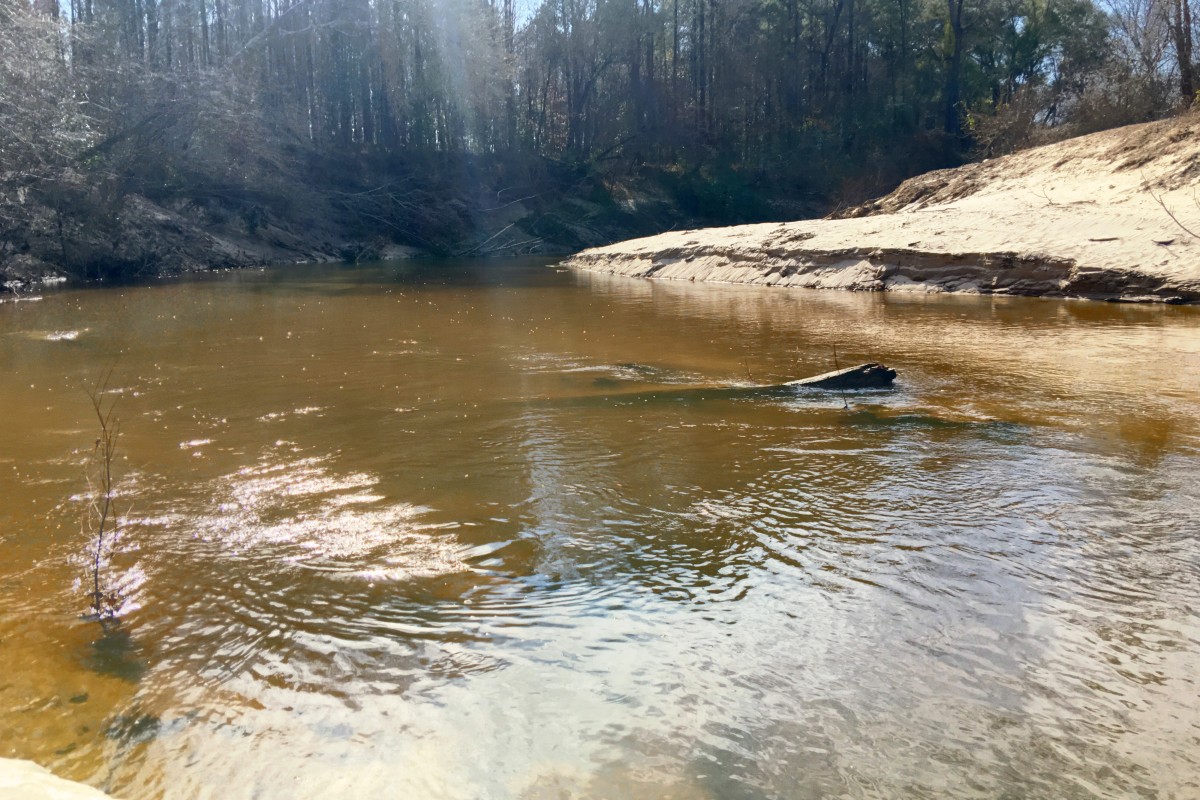
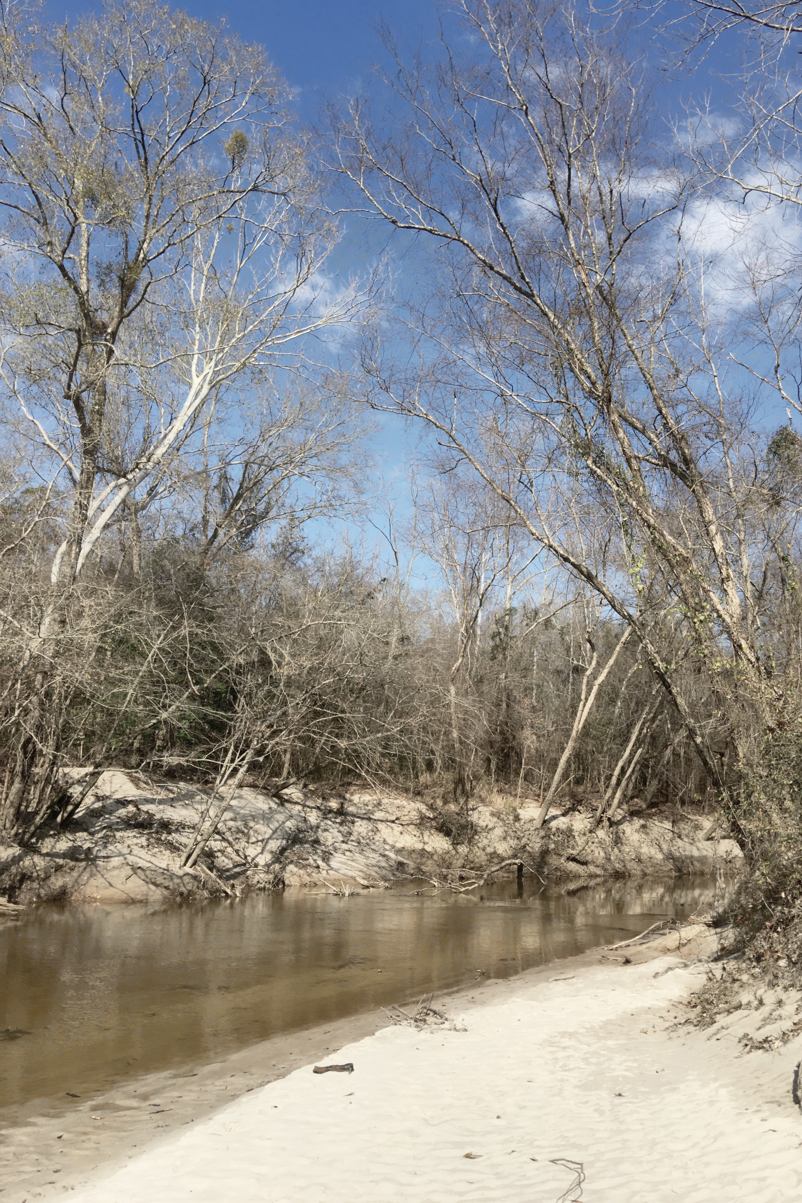
The closure of the earthen embankment and the filling of the lake began in October 1966.

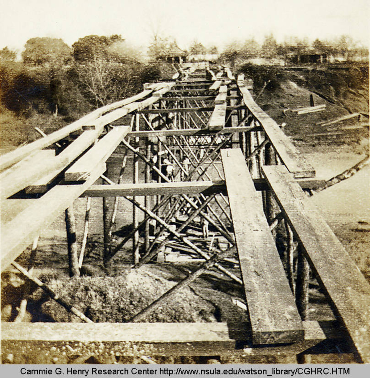
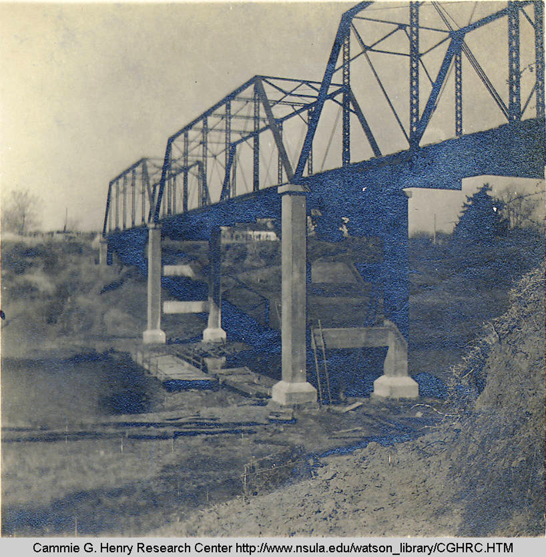
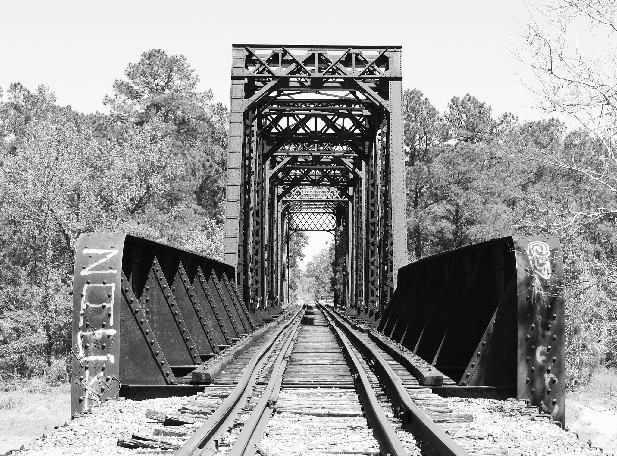
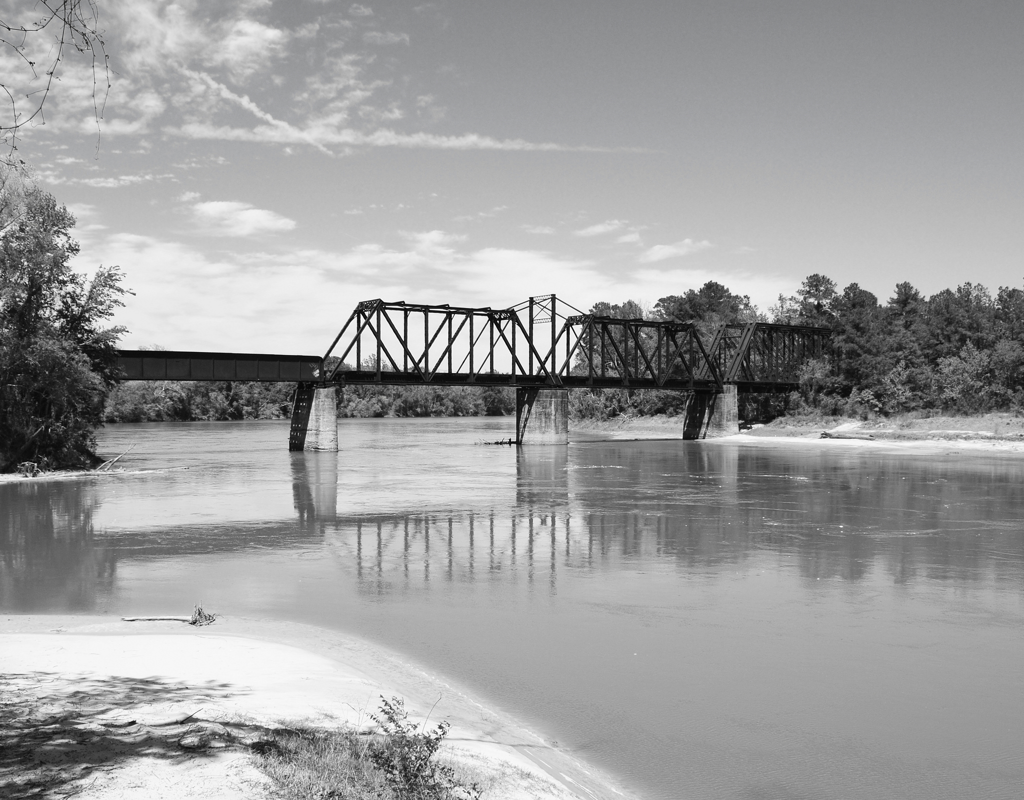
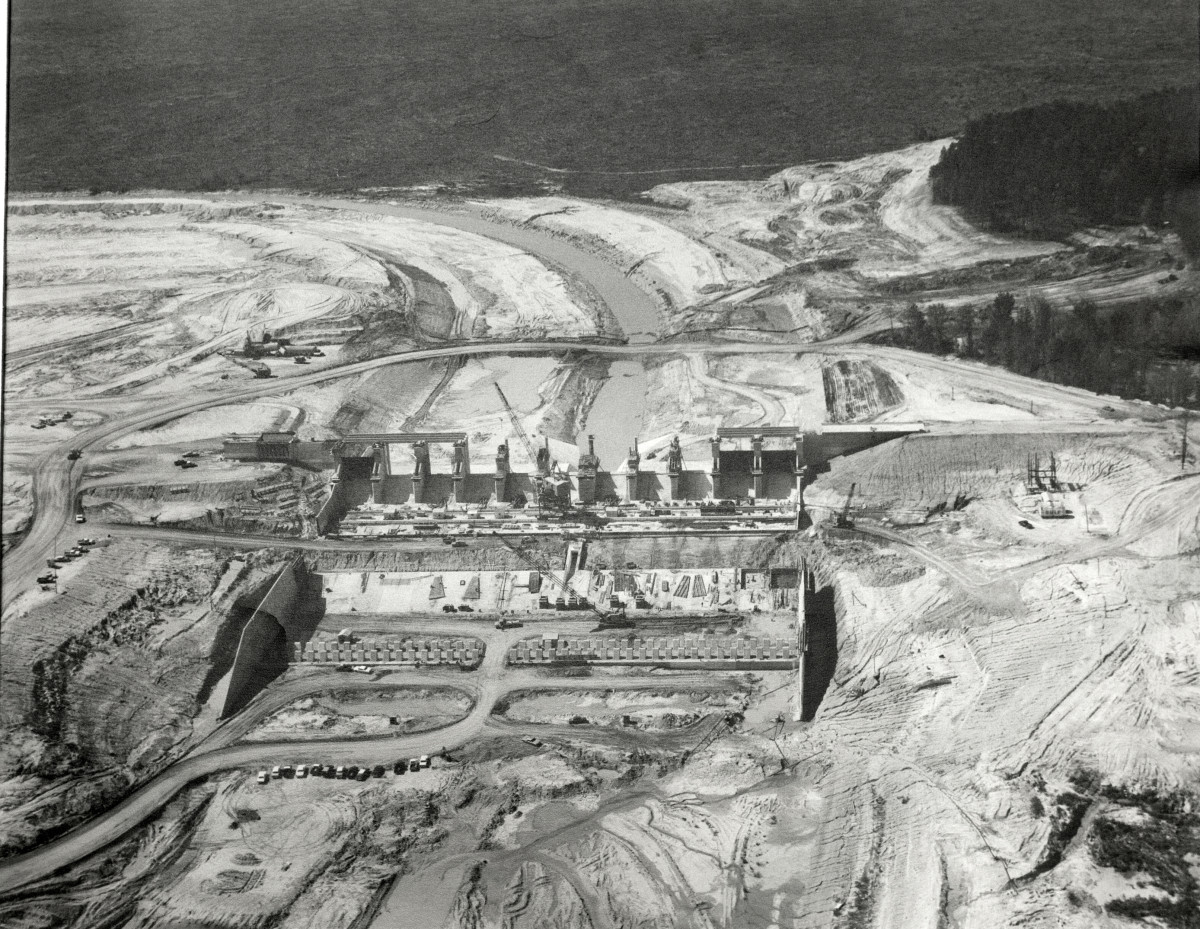
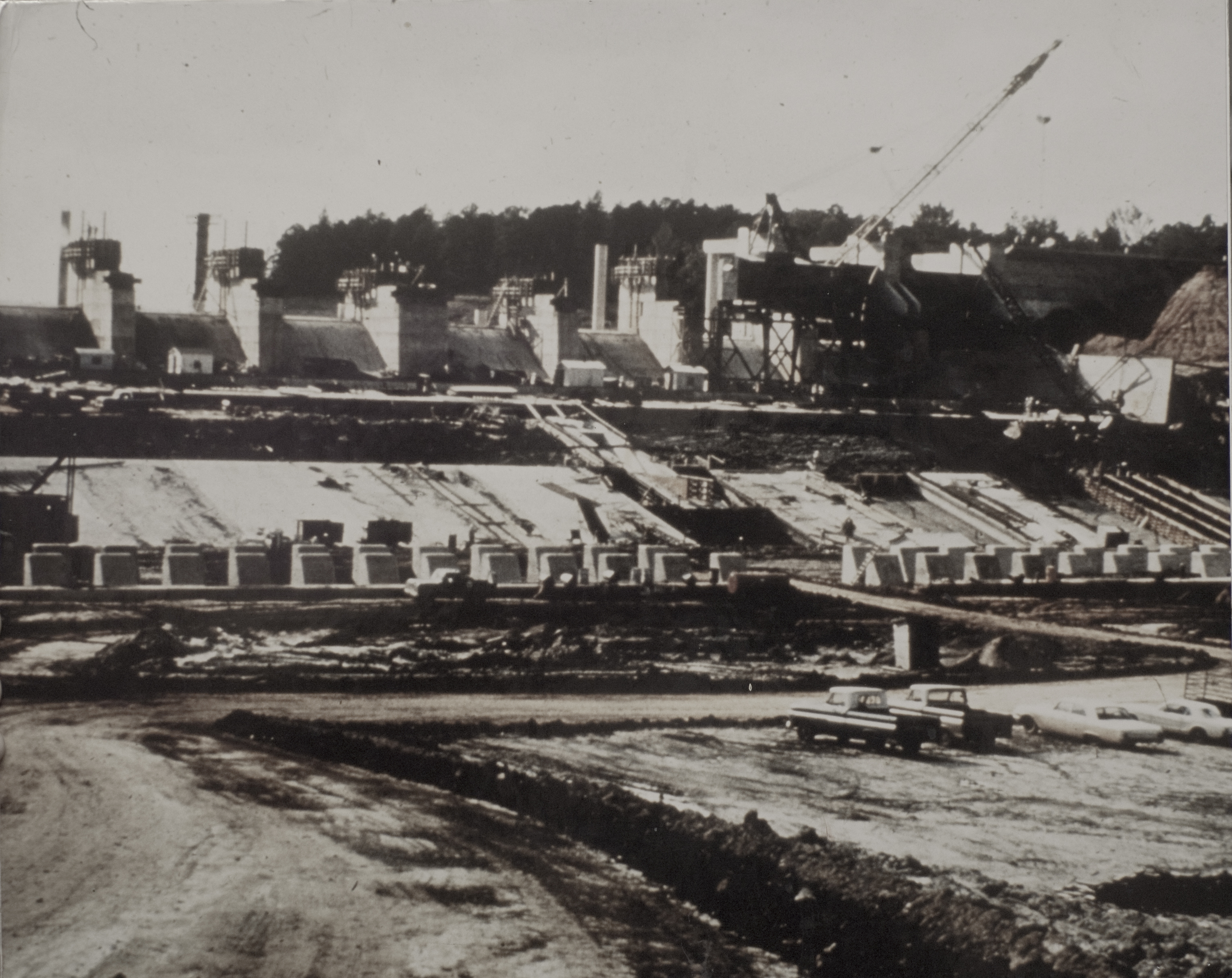
Here are a few photos of the construction of the Spillway and Dam.  The spillway was designed to provide the controlled release of flows from the dam downstream to the Sabine River, and to release flood water so the level does not get too high and overtop or damage the dam.

Here are some photos of construction of the dam and spillway.  I added some close ups of a couple of the photos… honing in on different parts of the original photo.

ats dam Continue reading “Building a Dam: The making of Toledo Bend Lake”

Facebooktwitterredditpinterestlinkedinmail

Time Travel Backwards Style: Ferries on the Sabine

We received a request regarding photos and information on ferries which operated on the Sabine River before the bridges were built (most of the bridges that were added on the Sabine River were built in the 1930s).  So I rounded up all the photos I had and grabbed up a few old newspaper articles and here they are.  If anyone has additional photos, I would love love love to share them! They are really invaluable and I get so excited any time I come across one.

Pendleton Gaines Ferry.  Not sure of the year, but was pre 1937.  This photo was shared with ATS by Donna Owens Jones
Pendleton Gaines Ferry. Not sure of the year, but was pre 1937. This photo was shared with ATS by Donna Owens Jones

Continue reading “Time Travel Backwards Style: Ferries on the Sabine”

Facebooktwitterredditpinterestlinkedinmail

Through the years: Crossing the Cane in Natchitoches, Louisiana

1914

I rounded up a collection of photos of the Cane River bridge in the City of Natchitoches, Louisiana and in Natchitoches Parish.  Almost all the photos are from the Cammie G. Henry Collection, at the Northwestern State University Library.  I added dates to the photos where dates were available, and details where details were available.  Any input is welcome and appreciated on any of these photos.

Continue reading “Through the years: Crossing the Cane in Natchitoches, Louisiana”

Facebooktwitterredditpinterestlinkedinmail

Through the years: Crossing the Sabine River between Bon Weir, Texas and Merryville, Louisiana


1931. On the Sabine River between Merryville, Louisiana and Bon Weir, Texas. From The Beaumont Enterprise, "The old hand-powered ferry which took its departure with the erection of the bridge. This is one of the old and historical crossings of the Sabine river."
1931. On the Sabine River between Merryville, Louisiana and Bon Weir, Texas. From The Beaumont Enterprise, “The old hand-powered ferry which took its departure with the erection of the bridge. This is one of the old and historical crossings of the Sabine River.”
1931. Bridge over Sabine River between Merryville, Louisiana and Bon Weir, Texas. From The Beaumont  Enterprise.
1931. Bridge over Sabine River between Merryville, Louisiana and Bon Weir, Texas. From The Beaumont Enterprise.
Railroad bridge over Sabine River, built pre-1910.  Photo by Patrick Feller
Railroad bridge over (ATFS) Sabine River, built 1905, according to BridgeHunter.com. Photo by Patrick Feller.
image
The railroad bridge over the Sabine River between Newton County and Beauregard Parish is a swing through truss bridge. Photo by Patrick Feller.
Bridge today, as part of US Hwy. 190 system.  Not sure when the bridge was constructed... Looked a good bit online but did not find a date pinpointed.  Feel free to comment if you know more about this bridge.  NOTE:  We took this photo from the air this past December... The river was at flood stage at this time... So it may appear quite high in these photos because it is quite high.
Bridge today, as part of US Hwy. 190 system. Not sure when the bridge was constructed… Looked a good bit online but did not find a date pinpointed. Feel free to comment if you know more about this bridge. NOTE: We took this photo from the air this past December… The river was at flood stage at this time… So it may appear quite high in these photos because it is quite high.


Facebooktwitterredditpinterestlinkedinmail

Keatchie College later became public grade school for area

image
Original schoolhouse of Keachi (Keatchie, Keatchi) Female College. Photo kindly shared by Michael Speights.

First, it was Keatchie Female College, located in northern DeSoto Parish, Louisiana.  The college opened in the mid-1800s and remained a college until 1912.  Some time soon after this, the primary college buildings were utilized as the public grade school for the area, educating students grades K-12.

Continue reading “Keatchie College later became public grade school for area”

Facebooktwitterredditpinterestlinkedinmail