Following was an Associated Press article, originally published I believe in the Longview News-Journal, in September 1965. It relates to a proposed canal between Sam Rayburn Lake in East Texas and Toledo Bend Lake.

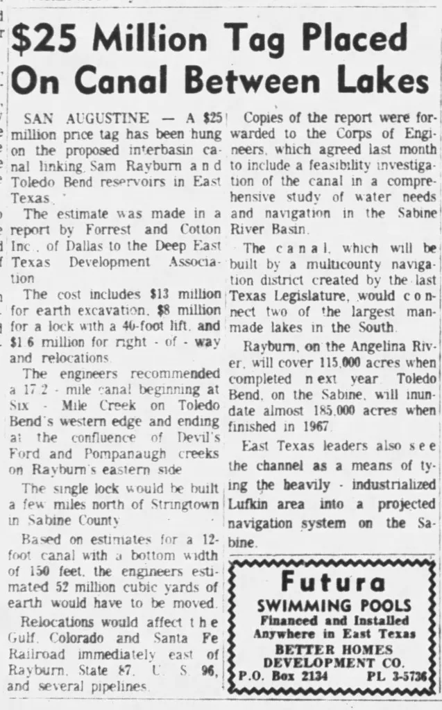
$25 Million Tag Placed On Canal Between Lakes
SAN AUGUSTINE — A $25 million price tag has been hung on the proposed interbasin canal linking Sam Rayburn and Toledo Rend reservoirs in East Texas.
The estimate was made in a report by Forrest and Cotton Inc. of Dallas to the Deep East Texas Development Association .
The cost includes $13 million for earth excavation, $8 million for a lock with a 46-foot lift, and $1.6 million for right-of-way and relocations.
The engineers recommended a 17.2 mile canal beginning at Six-Mile Creek on Toledo Bend’s western edge and ending at the confluence of Devil’s Ford and Ponpanaugh creeks on Rayburn’s eastern side.
The single lock would be built a few miles north of Stringtown in Sabine County.
Based on estimates for a 12-foot canal with a bottom width of 150 feet. the engineers estimated 52 million cubic yards of earth wouldhave to be moved.
Relocations would affect the Gulf, Colorado and Santa Fe Railroad immediately east of Rayburn, State Hwy. 87, U. S. 96, and several pipelines
Copies of the report were forwarded to the Corps of Engineers. which agreed last month to include a feasibility investigation of the canal in a comprehensive study of water needs and navigation in the Sabine’ River Basin.
The canal, which will be built by a multicounty navigation distnct created by the last Texas Legislature. would connect two of the largest man-made lakes in the South.
Rayburn, on the Angelina River, will cover 115.000 acres when completed next year; Toledo Bend, on the Sabine, will inundate almost 185.000 acres when finished in 1967. East Texas leaders also see the channel as a means of tying the heavily - industrialized Lufkin area into a projected navigation system on the Sabine.