We received a request regarding photos and information on ferries which operated on the Sabine River before the bridges were built (most of the bridges that were added on the Sabine River were built in the 1930s). So I rounded up all the photos I had and grabbed up a few old newspaper articles and here they are. If anyone has additional photos, I would love love love to share them! They are really invaluable and I get so excited any time I come across one.
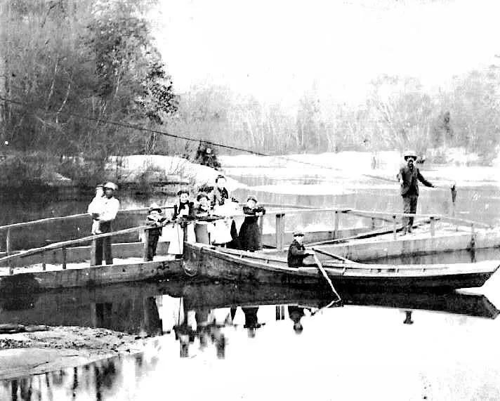 Pendleton Gaines Ferry. Not sure of the year, but was pre 1937. This photo was shared with ATS by Donna Owens Jones
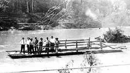 Ferry crossing the Sabine in 1916, Sabinetown
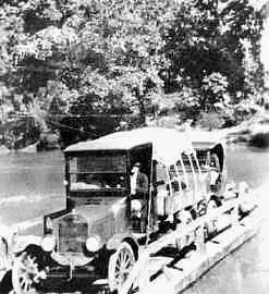 Crossing Sabine by the Pendleton Gaines Ferry in 1920s.
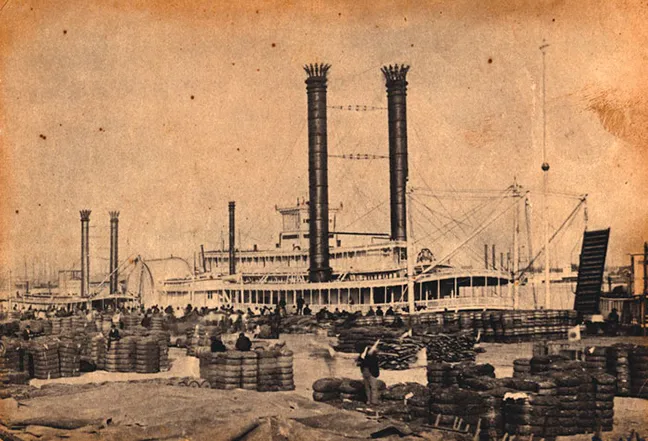 Ferry at Niblett’s Bluff on the southern end of the Sabine.
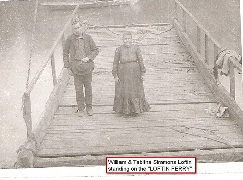 Near Evans, Louisiana., Loftin Ferry. From Lutherans Online.
 1931. On the Sabine River between Merryville, Louisiana and Bon Weir, Texas. From The Beaumont Enterprise, “The old hand-powered ferry which took its departure with the erection of the bridge. This is one of the old and historical crossings of the Sabine River.”
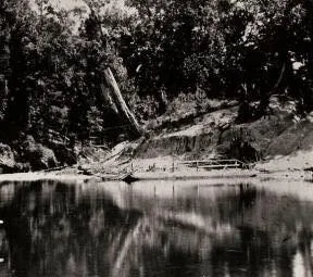 From VentureVernon.Com, this appears to be Burr Ferry, Louisiana
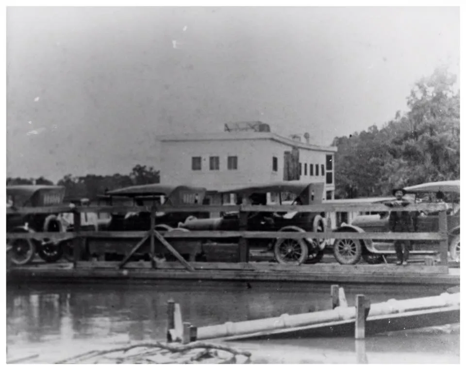 Ferry crossing Sabine at Orange County, Texas. From Heritage House Museum, through Portal to Texas History
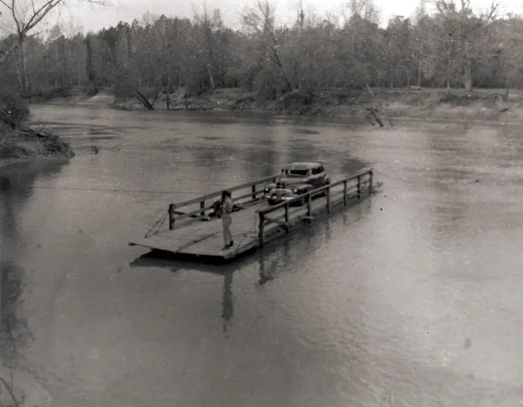 From the photo collection of D. T. Kent, this was taken near Kirbyville, Texas (Jasper County). I believe it is on the Neches River, however, not the Sabine, though I do not k know for sure. A reader had suggested it was Sheffield Ferry. Kent’s collection does contain some photos on or around the Sabine.
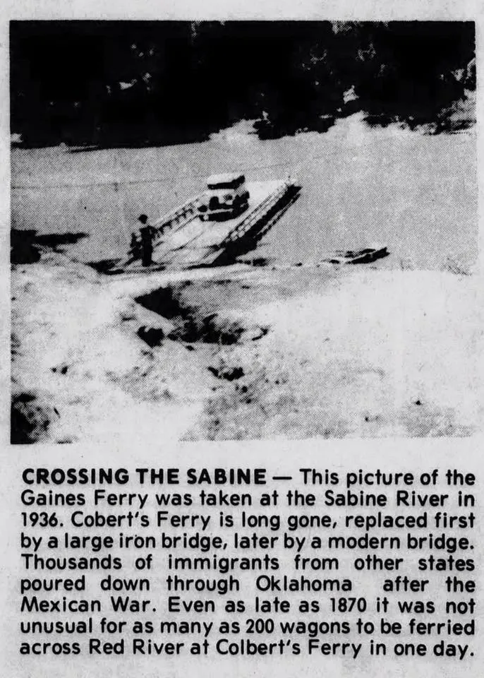 1936, Pendleton Gaines Ferry
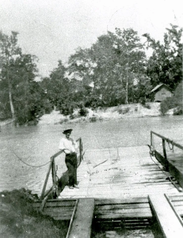 Ferry from the photo collection of D. T. Kent of Kirbyville. This one may be on the Neches River, however. Not sure.
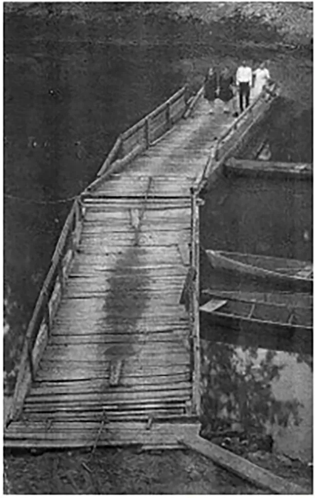 Gaines Ferry at Pendleton, 1927.
[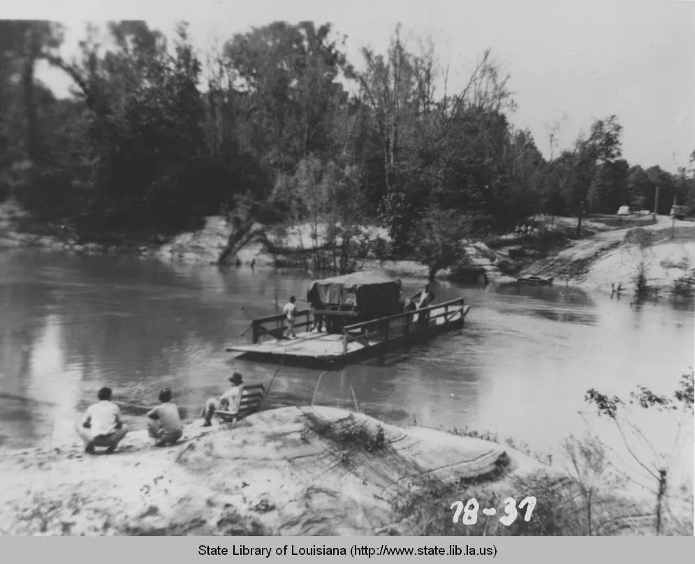 ] From Louisiana Digital Library, this photo was taken in 1940… A truck is ferries across the Sabine River as part of the Third Army Maneuvers, WWII
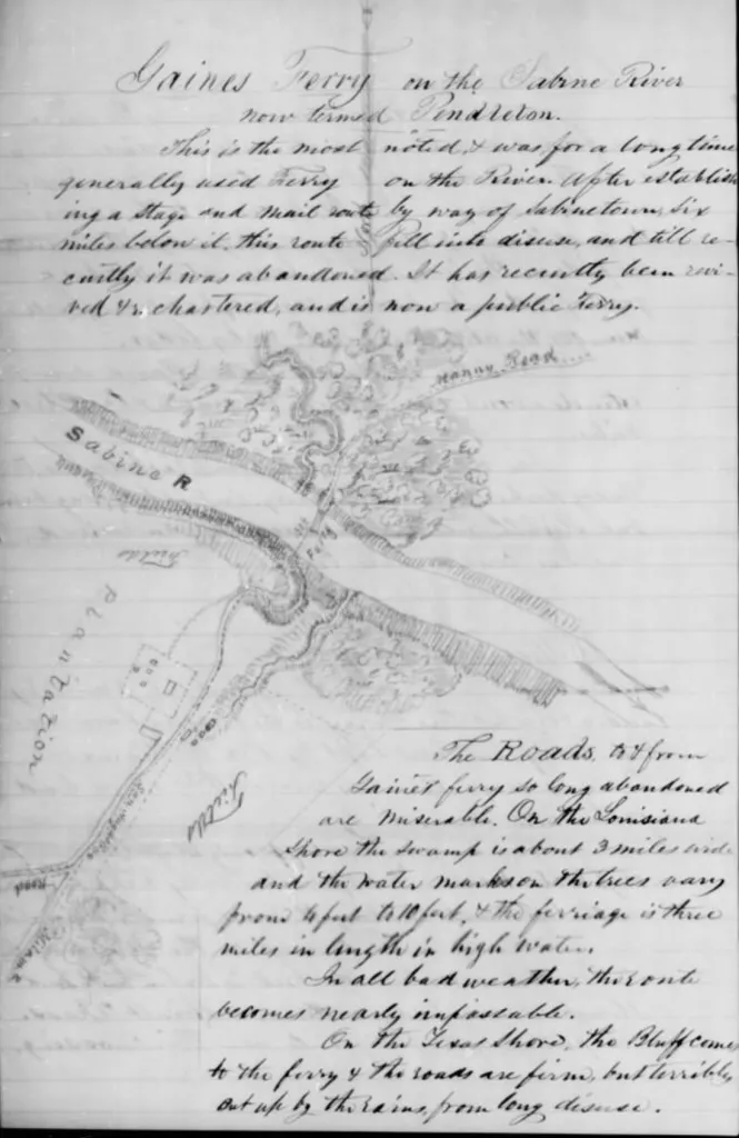 Gaine’s Ferry on the Sabine River
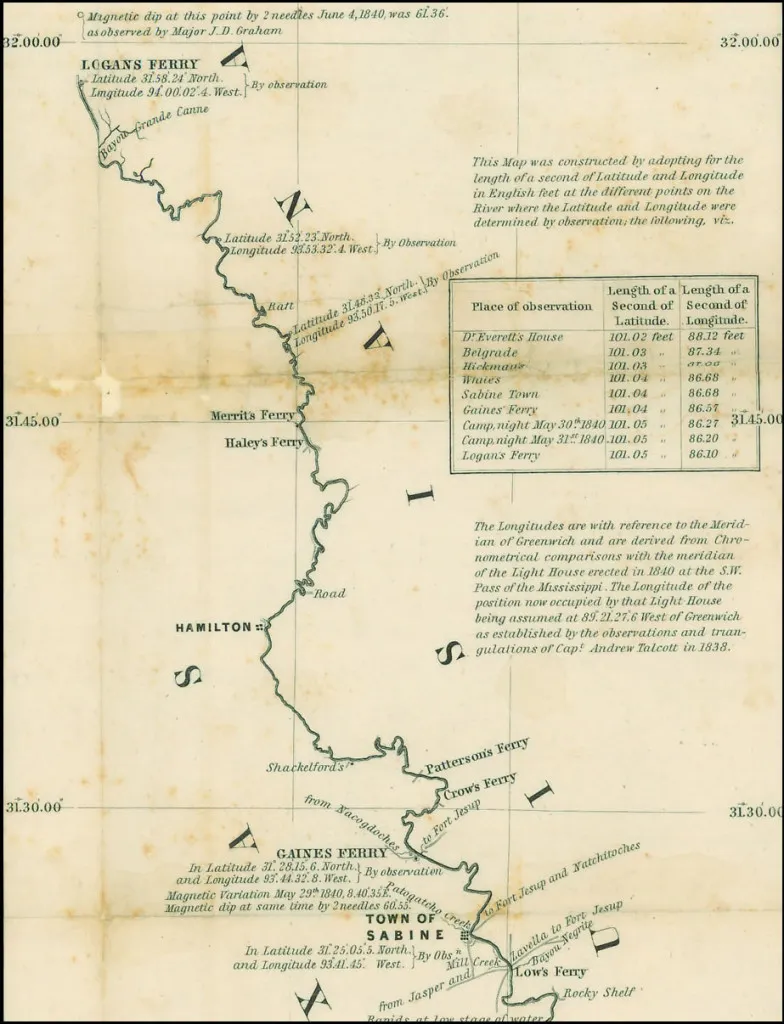 1840 map of Sabine River as eastern boundary of Texas. This particular section of River borders Shelby County and extends down to a bit past Gaine’s Ferry.
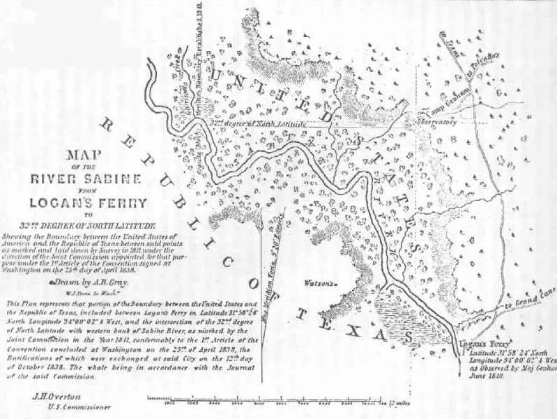 Early Map of the Sabine River from Logans’s Ferry to the 32nd Degree of North Latitude. From Town of Logansport’s website.
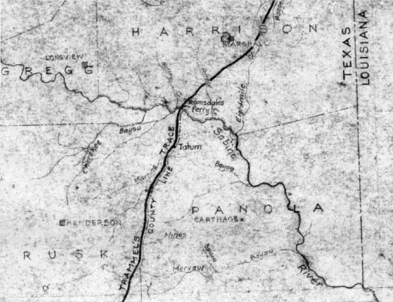 As can be seen in the map above, Trammel’s Trace crossed the Sabine at Ramsdale’s Ferry, not at Walling’s Ferry, and then continued following the modern-day boundary between Rusk and Panola Counties, which caused the path of Trammels Trace to go through Tatum, not what is now Easton. From nonjohn.com
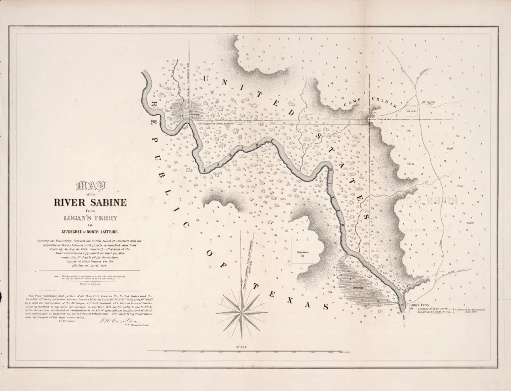 From the Library of Congress, Map of the river Sabine from Logan’s Ferry to 32nd degree of north latitude : shewing the boundary between the United States of America and the Republic of Texas between said points, as marked and laid down by survey in 1841, under the direction of the Joint Commission appointed for that purpose under the 1st article of the convention signed at Washington on the 25th day of April 1838
 From Library of Congress, Map of the River Sabine from its mouth on the Gulf of Mexico in the sea to Logan’s Ferry in latitude 31°58ʹ24ʺ north : shewing the boundary between the United States and the Republic of Texas between said points : as marked and laid down by survey in 1840, under the direction of the Commissioners appointed for that purpose
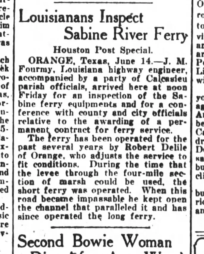 From The Houston Post, 1924
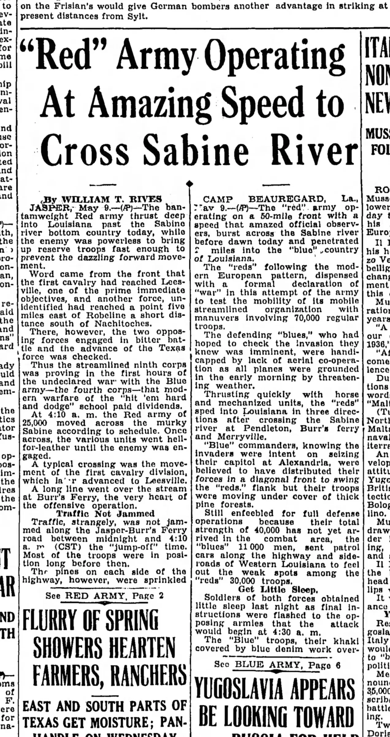 From The Corsicana Light, 1940
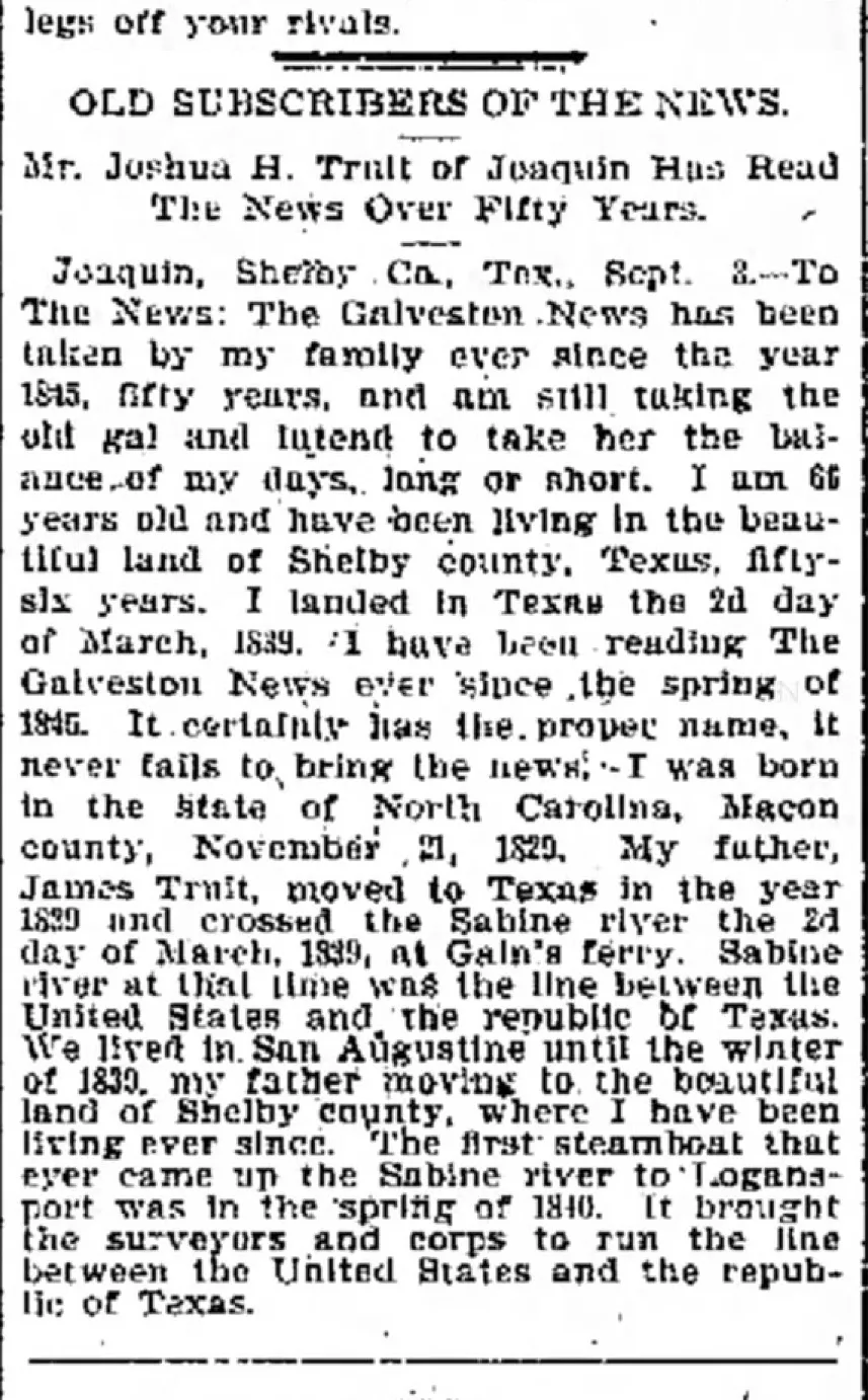 From The Galveston Daily News, 1895
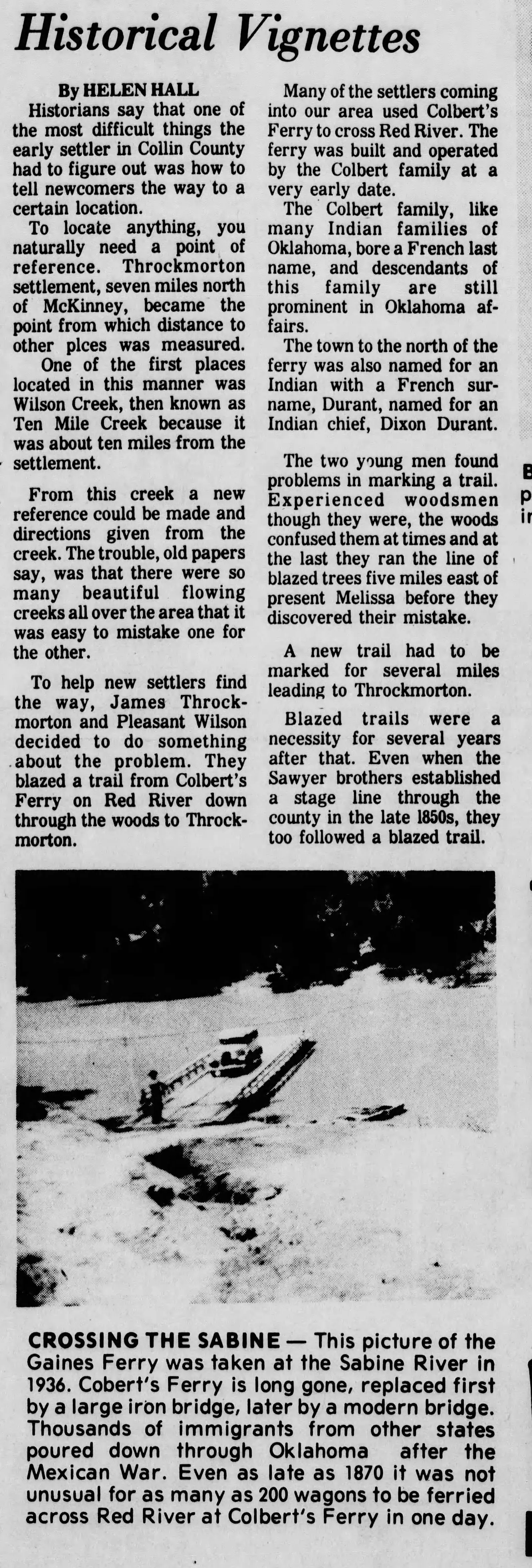 From The Waco News Tribune, 1927
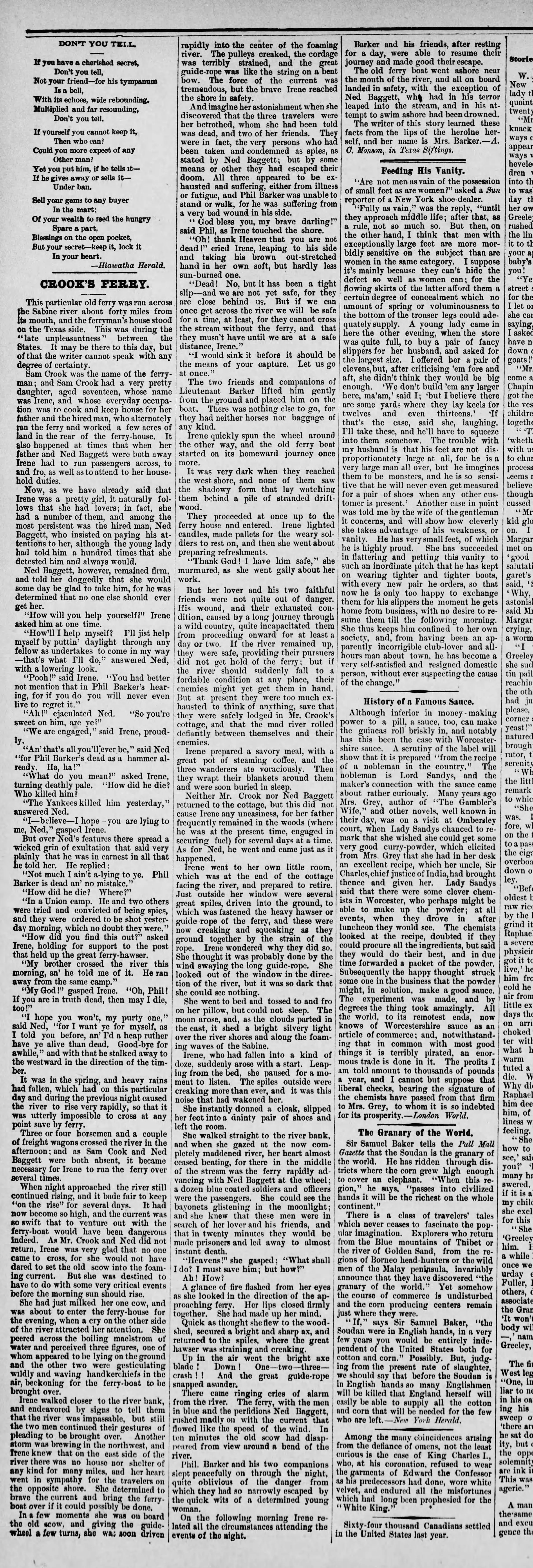 Crook’s Ferry, from The Daily Republican in Pennsylvania, 1884
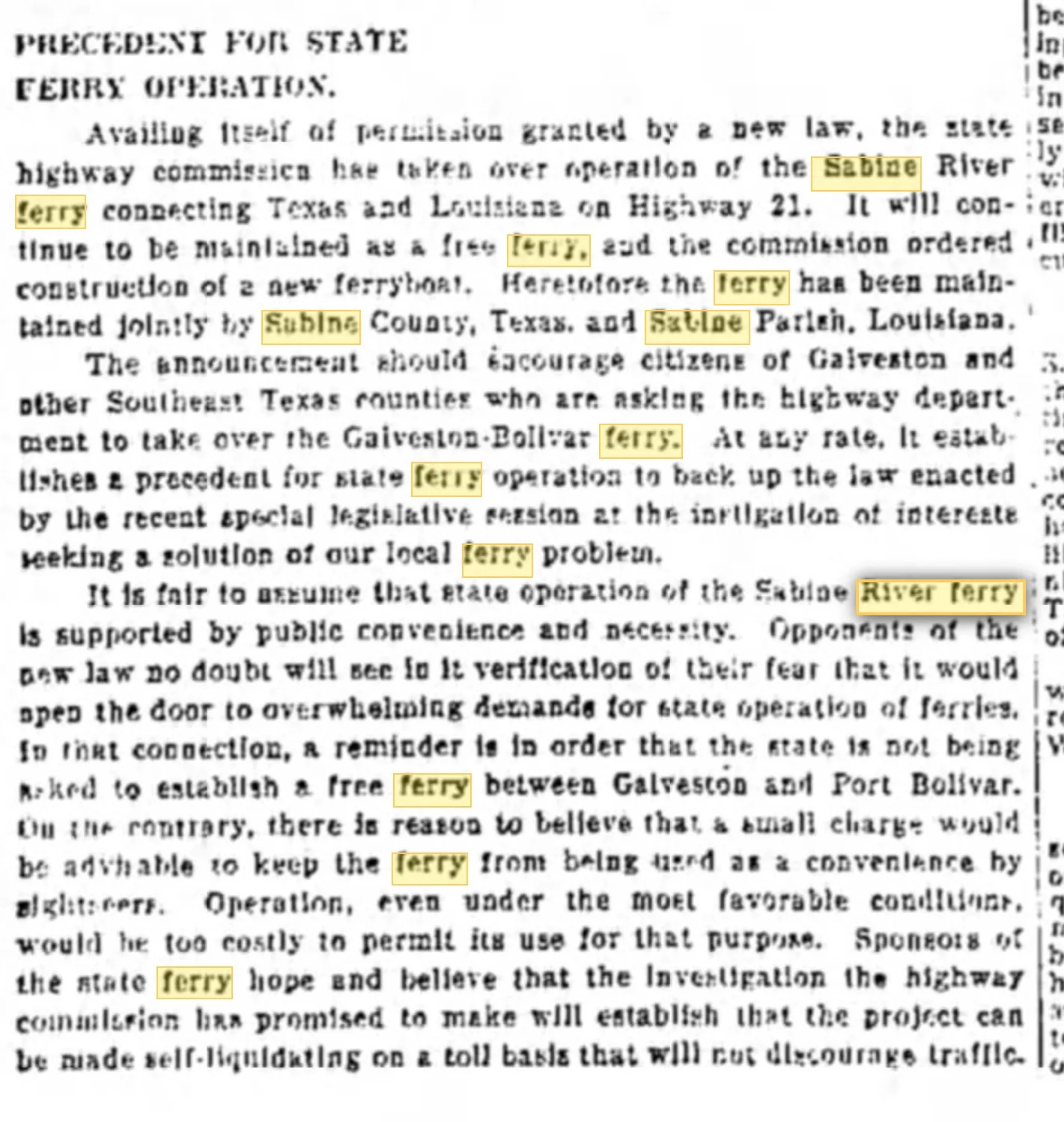 From The Galveston Daily News in 1933
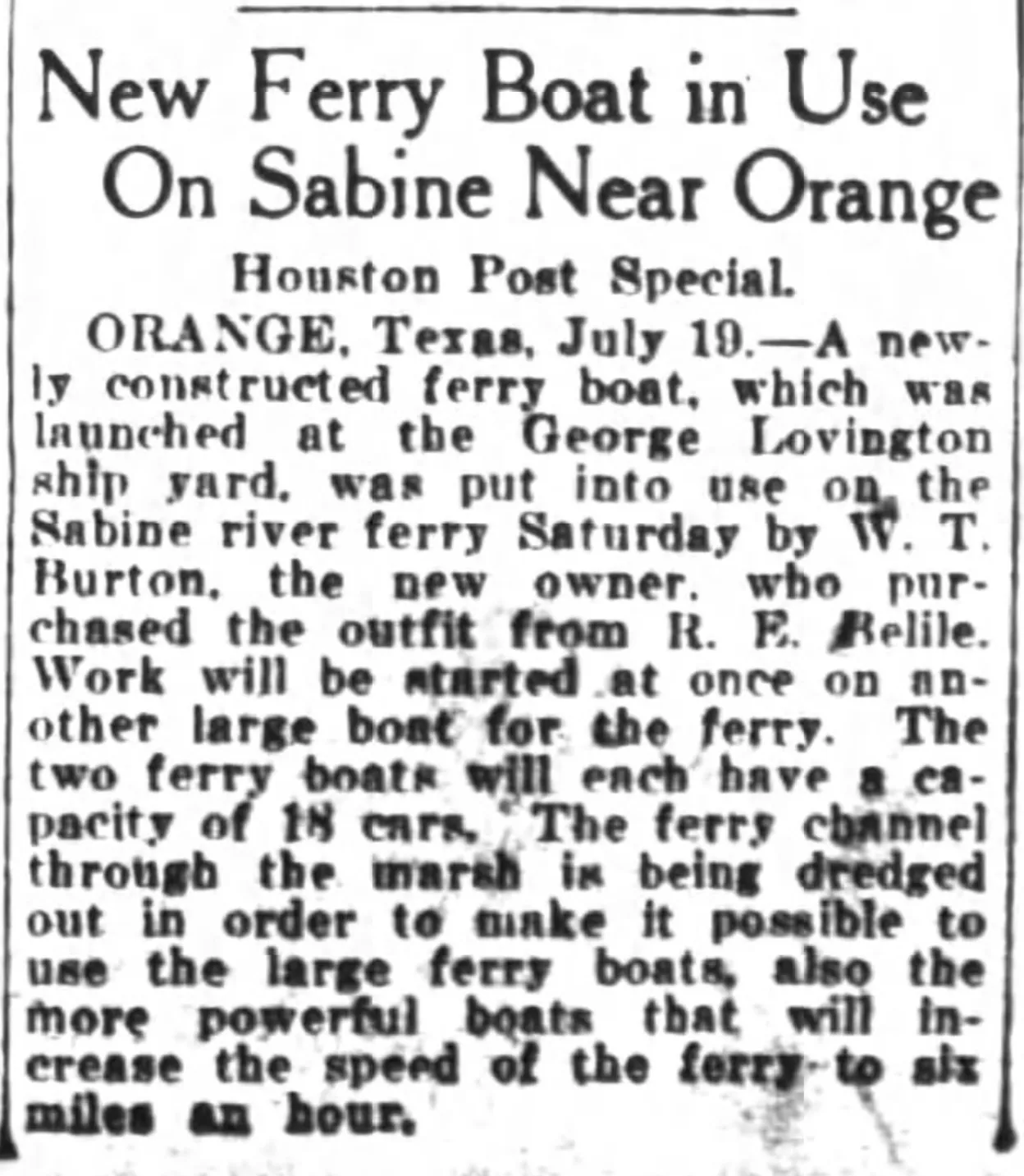 From The Houston Post, 1924