Turns out what I was seeing was actually Anacoco Creek and Vernon Lake, so I have been made aware that I knew even less about this rather large lake than what I thought I knew.
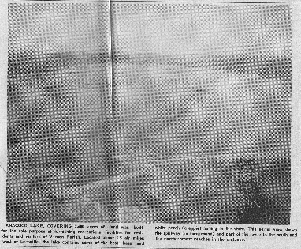
A few months ago, I came across a photo from the Vernon Parish Library which was published in The Leesville Daily Leader of Anacoco Lake soon after it was created. That was the first time it occurred to me that Anacoco Lake was a man-made body of water.
Curiosity led to me find out a bit about the lake. Anacoco Reservoir was formed in 1951 as a result of a State Legislative Act establishing the Anacoco Prairie Game and Fish Preserve and setting aside approximately 5,400 acres “for the construction of recreational waters and lands.”

Anacoco Lake was created by the impoundment of Anacoco Creek, Caney Creek, Prairie Creek and Sandy Creek with an earthen dam approximately 4,700 feet in length with a 12 ft. crown at elevation 206 ft. mean sea level. The maximum embankment height is about 37 feet and constructed of homogeneous earth fill with stone rip-rap shore protection.
The State of Louisiana owns the water bottoms of the lake and the Louisiana Department of Wildlife and Fisheries manages the fish and wildlife resources.
The lake was explicitly created for water supply and recreation.
With my newfound knowledge of Anacoco Lake, I set out a couple of times to get some aerial video of the magnificent lake, but have found it a decent challenge to come to a public spot where we could film from. Not knowing the lake very well, we failed in our feeble attempts (though to me, they hardly seemed feeble) to find a public park, boat launch, or any sort of location along the lake from which to film. So I had put my quest on the back burner, taking up other things to chase.
Until today. This afternoon, we were headed to Merryville, Louisiana to see if we could find remnants of an old U.S. Army Air Corps Bombing Range Operations Office. By chance, Hwy. 171’s southbound lanes in Leesville were reduced from two to one and since traffic was backed up, we decided to deteor and instead of going to DeRidder and then to Merryville, to instead take Hwy. 8 West out of Leesville towards Jasper and then head south to Merryville. Phew! That took longer to say than I meant for it to.
Well, anyway, this was an “as luck would have it” situation, be-cause… as luck would have it… :) We saw Anacoco Lake on Hwy. Four hundred and something which was taking us towards Merryville. And then… we saw signage which pointed towards the Anacoco Spillway Park. SPILLWAY!! Eureka, I thought. We oughta be able to get some long sought after footage here… Hooray.
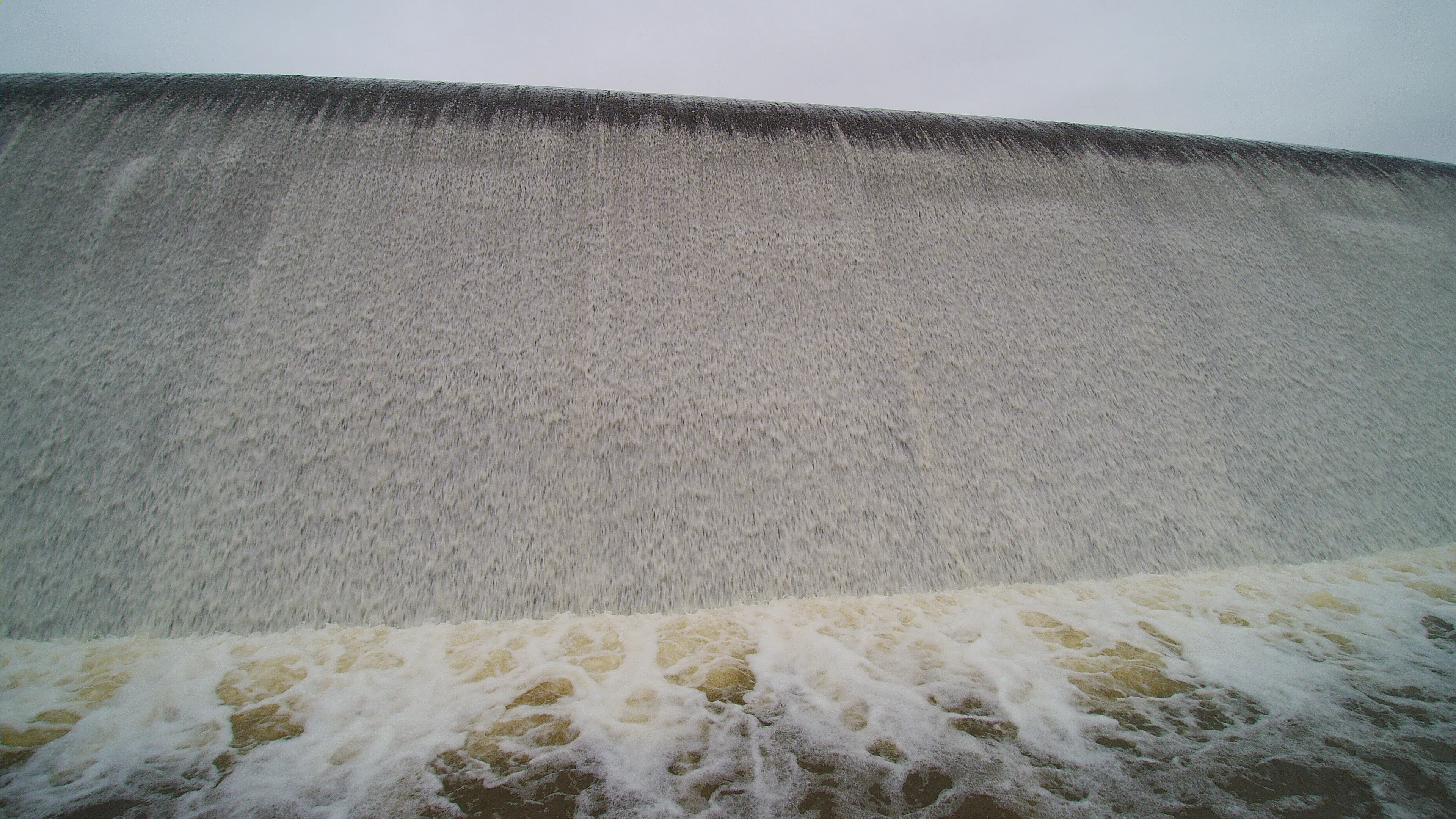
So our Merryville search was halted at once and we turned into the park. This, I must say, was really neato (for lack of a better word). The spillway was not at all like Toledo Bend, as you will see in the video. There were no controlled gates that I saw, just a steady, calm and yet still powerful flow of water from the lake into Anacoco Creek below. The water literally gently spilled from the lake to the peaceful, scenic creek many feet below.
I set up my camera to time lapse the lake and overcast sky above and one of my daughters took the quadcopter to the air to explore the spillway from above. While all this was going on, we were fortunate enough to meet the gentleman who operates the park (If I was listening correctly, he explained he leased it from the state) and one of his friends, who clued us in to some of the history of the area. I am pretty sure I could have listened to them for hours and it seemed like minutes… but being it was a “school night” I knew I needed to get the kiddos home and they had their own things to tend to. I can not wait, however, to explore some areas, locales and historic events they told of.
“There is so much history here that so few know about,” the park operator told us. Is he ever correct! As he clarified, there is an incredible amount of rich history packed into a geographically small area (small in the bigger picture of U.S. and even world history, that is) which is essentially along the Sabine River…
This gentleman completely stumped me on multiple tidbits of local history… unintentionally making me aware of my ignorance of the area which surrounds me. I compliment him for this… I sometimes erroneously feel pretty darned educated on local history… And then, this. Someone such as this man comes along who unintentionally teaches me that I have a whole lot to learn about this area and that there is a world of knowledge out there for me to explore…
This is indeed a good thing. For me and for those who check out All Things Sabine.
And it is a good thing for my children… they are remarkable. They accompany me on these explorations… and they truly enjoy it. They really do… I’m not just saying this :) They don’t have to come with me… they choose to. And they participate in so many ways. I hope their generation can take just a few crumbs of the interest they have in history and what it means to us as humans and to the world around us. For we could all be better for it.
