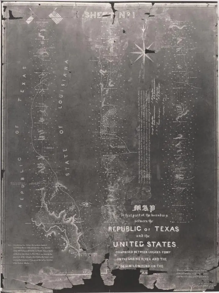
Gray, A. B. Map of that part of the boundary between the Republic of Texas and the United States, comprised between Logan's Ferry on the Sabine River, and the 36th mile mound on the meridian line., Map, 1838; University of North Texas Libraries, The Portal to Texas History, http://texashistory.unt.edu; crediting Hardin-Simmons University Library , Abilene, Texas.
Gray, A.